Description
The Сentral Tien Shan - the largest mountain knot of the country, is located in the southeast, on a joint of borders of three countries - Kazakhstan, Kyrgyzstan and China. In riverheads Bayankol settles down the Meridional ridge in which several remarkable tops, such as Marble wall, Bayankol, Kazakhstan are allocated. In the next crest the legendary peak of Khan Tengri settled down. In the neighbourhood with these giants there is also a peak Astana.
Our company suggests you to participate in this expedition and to visit the most interesting mountainous area. We not for nothing call this program an expedition. It includes also the 400th kilometer moving on jeeps, and cargo delivery to the base camp a caravan of horses, and 12km trekking to the foot of the mountain.
The peak Astana is the top, very beautiful, but rather simple for ascension, available to any person.
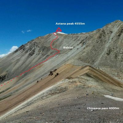
Route to Astana peak (4555m).
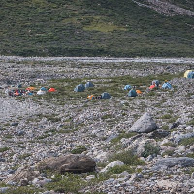
The first part of a way (~ 800 m) from the base camp passes across the bed of the river of Sara Goynou to language of a glacier of the Marble wall. The track goes practically without ascent. Then it is necessary to climb a steep stone talus slope (set 100m). Further on the picturesque, well-marked track, without steep slopes we will move to the small stream which is flowing down from peak Astana. The general time in way about 2 hours (depends on physical training of group). Here it is possible to arrange a small halt, to have a bite, fill up water supplies.
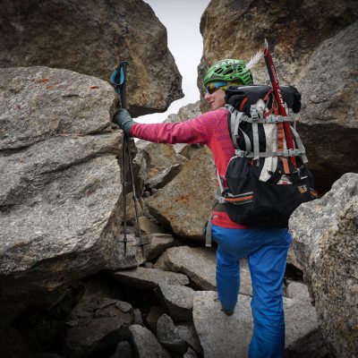
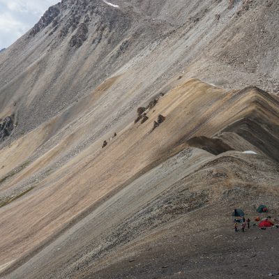
Further our way will pass on a large talus, along a stream. We will rise to so-called "balcony" - huge "shelf", a peculiar pedestal of peak Astana (a set about 300 - 350 meters, time in way 1.5-2 hours). Rise rather abrupt, especially before an exit to "balcony". Helmets will be necessary for us for safety further. On "balcony" we will a little take rest. We continue our ascension. On talus slopes we come to a crest (1.5 hour) and through 100 meters we reach peak top Astana. Descent on the way of rise.

 Русский
 Español
 Français
 Deutsch

