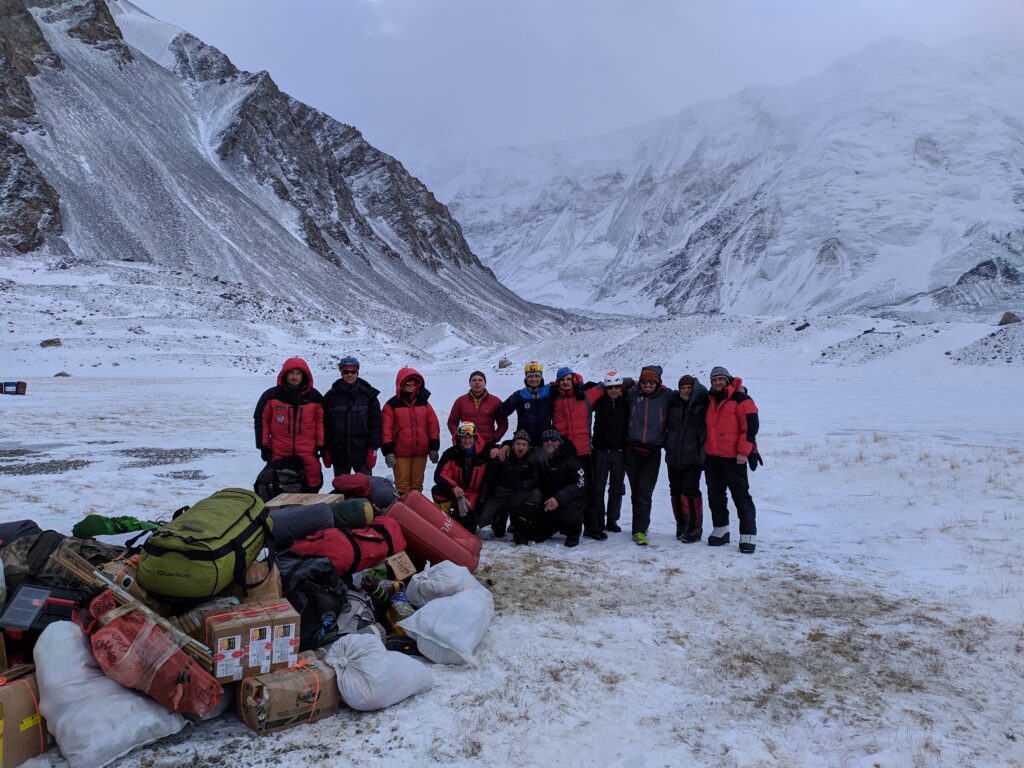
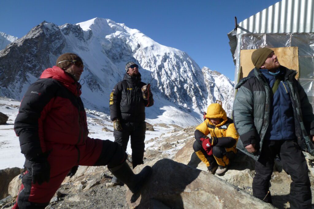
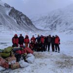
This expedition is built around two distinct summit routes from the same remote Base Camp.
Route to Korzhenevskaya (Ozodi) Peak (7105 m)
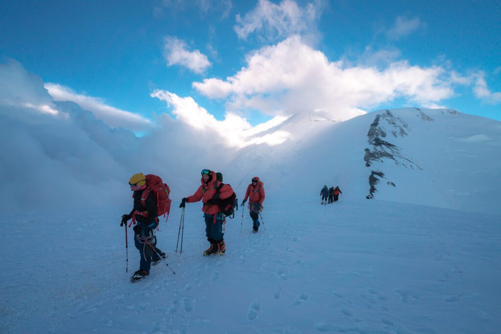
From Moskvin Base Camp, the route begins with a crossing of the Moskvin Glacier along a marked trail, followed by a short ascent and descent through a canyon before continuing around the southern spur of the mountain.
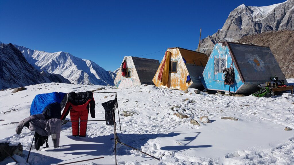
The climb progresses through a series of high camps:
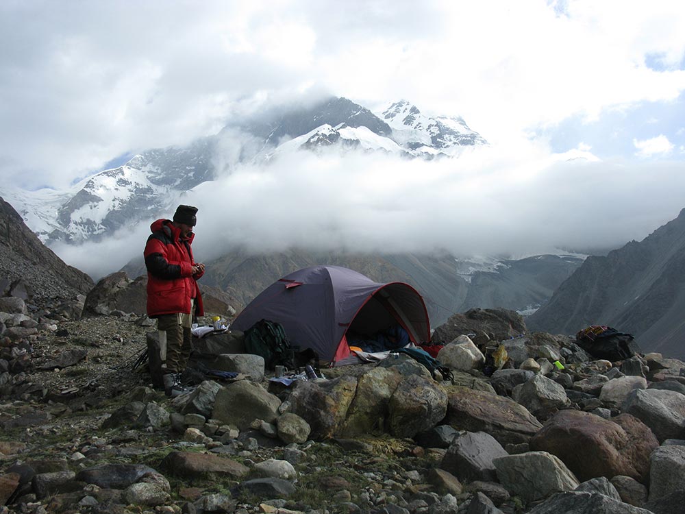
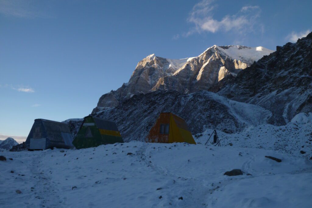
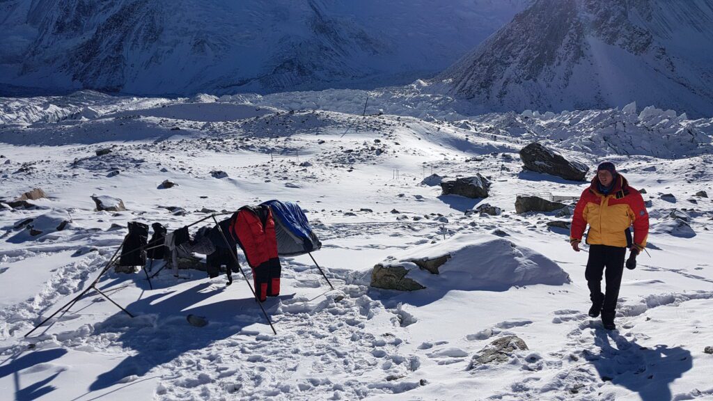
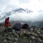
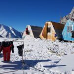
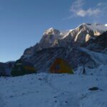
- Base Camp — 4360 m
- Camp 1 — 5100 m
- Camp 2 — 5300 m
- Camp 3 — 5800 m
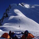
- High Bivy — 6100 m
- Summit Camp — 6400 m
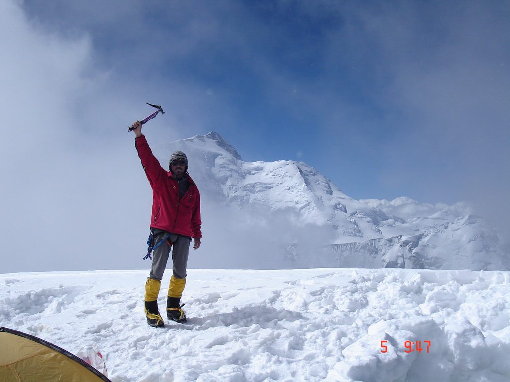
- Summit — 7105 m
Key sections of the route include:
- steep scree on the approach to Camp 1
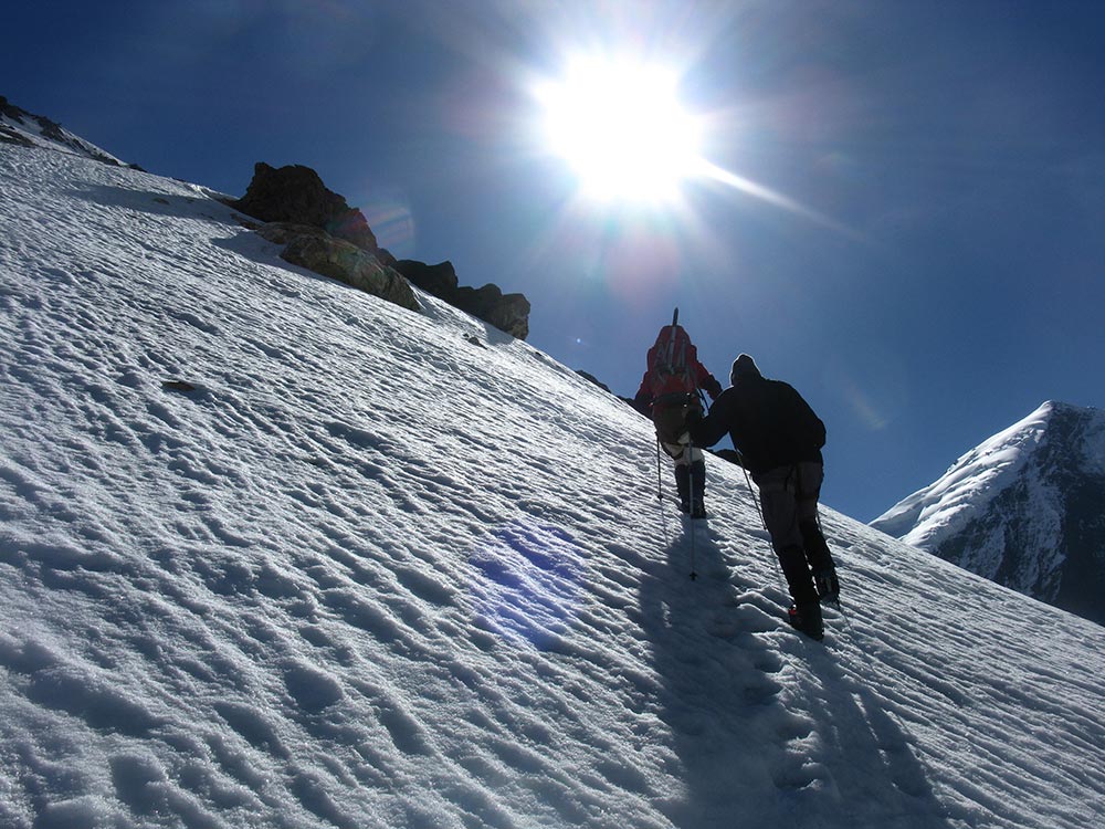
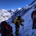
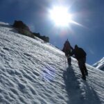
- a snow zone with crevassed traverses above 5300 m
- a technically difficult ice wall
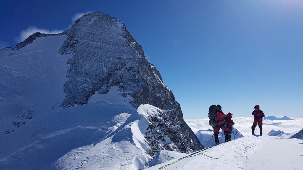
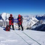
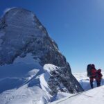
- exposed ridge terrain and mixed climbing between 6100 m and 6400 m
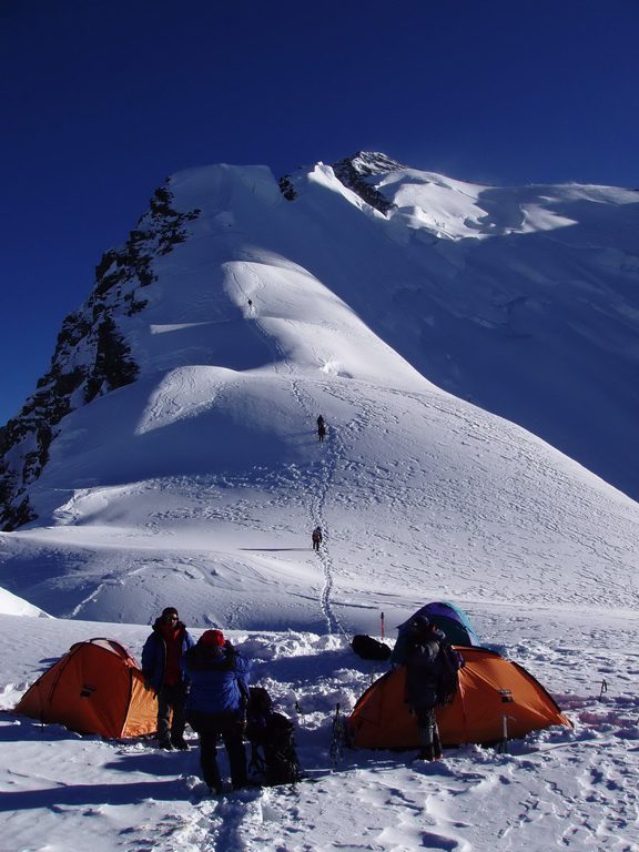
- the final summit section known as the “camel”, with a series of ascents and descents along the ridge
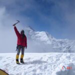
The summit push from 6400 m usually takes 5–6 hours, with descent back to the high camp the same day.
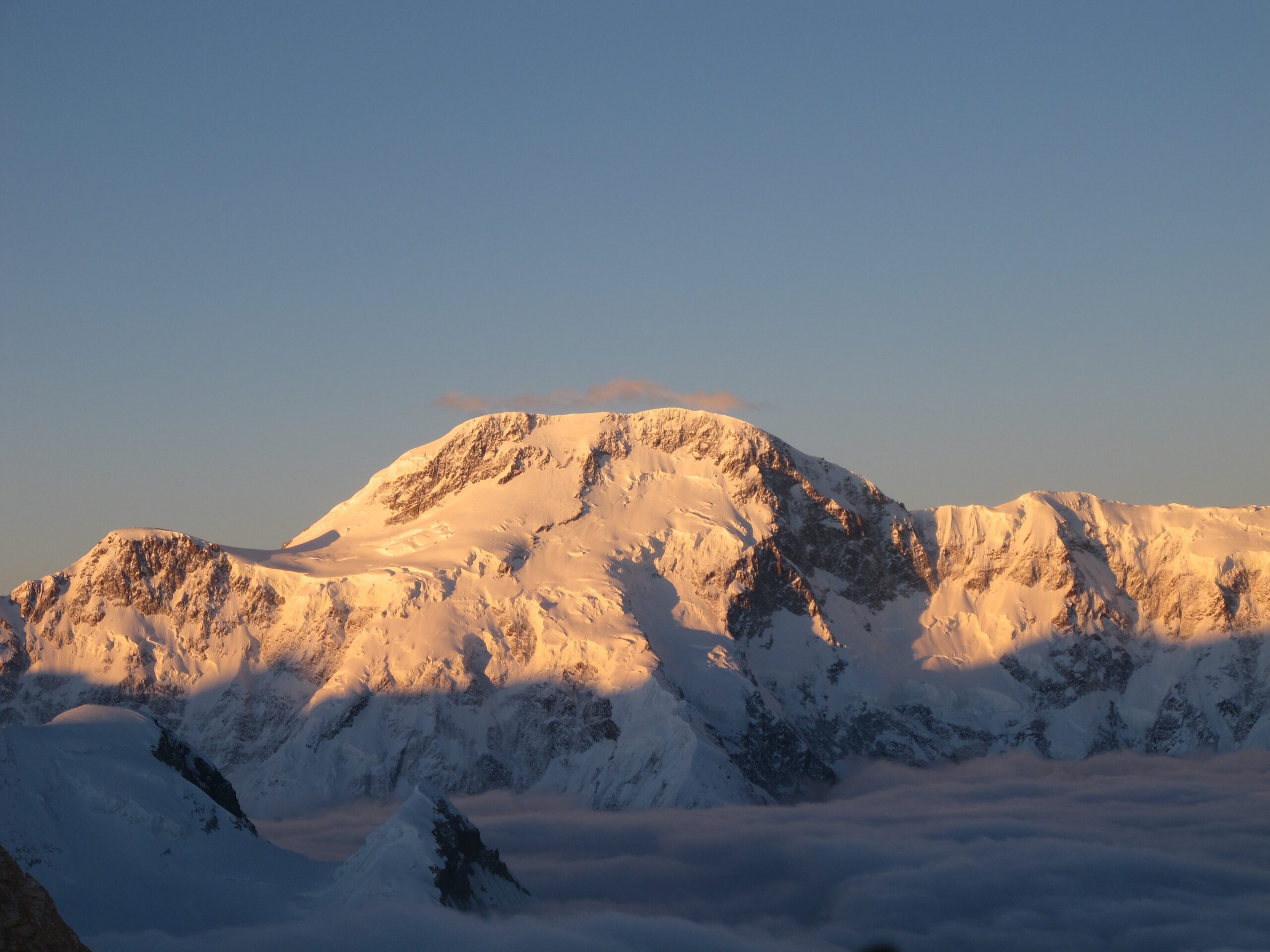
Route to Communism (Ismoil Somoni) Peak (7495 m)
From Moskvin Base Camp, the route begins along the moraine of the Walter Glacier. After crossing the glacier near the “Helipad,” the route continues toward a wide snow shelf leading to the Borodkin Ridge.
The middle and upper sections of this shelf — known as the Snow Pillow — lie in an icefall-prone zone and must be crossed efficiently.
The route continues through:
- Camp 1 — 5100 m
- ascent toward the “Grudi” at around 6300 m
- descent to Camp 2 — 6100 m on the Pamir Firn Plateau
- final ascent from the plateau via the steep snow-and-ice slope known as “Lopata”
- exposed summit ridge leading to the highest point in the Pamirs
The descent typically follows the same route and usually takes two days.